
Gwanaksan Misadventure
22 Apr 06
...
Always the letterboxers-errant we are! Somehow we manage to turn what should be a relatively quick outing into something SOOOO MUCH MORE than that...
...
We start our ascent and figure we'll be heading out on a 4 mile hike or so. The terrain is familiar to us as this is the same route our Monkey & Cloud letterbox clues lead folks on. It reminds me slightly of Northern California--specifically the Whiskeytown Lake area near Redding. The dirt is gravelly & sandy--with hints of pink, mauve, beige and white. Every so often the boulders have a little of that 'black' moss on them--the kind if you pour a little water on it it'll instantly turn forest green.

We quickly find the Monkey Letterbox and it's safe and sound tucked gently behind this boulder not terribly far from the trail (in fact the boulder abuts the trail) so the letterbox is about 2.5' beyond the trail.

We continue up to summit several smaller peaks, following the ridgelines most of the way. The ascent is quick, though, as much of the trail is quite steep--requiring large steps up and quite a bit of rock scrambling. We often find defensive positions near the intermediate summits of these mini-mountains along the way. More evidence that this country is ever-prepared to defend itself.
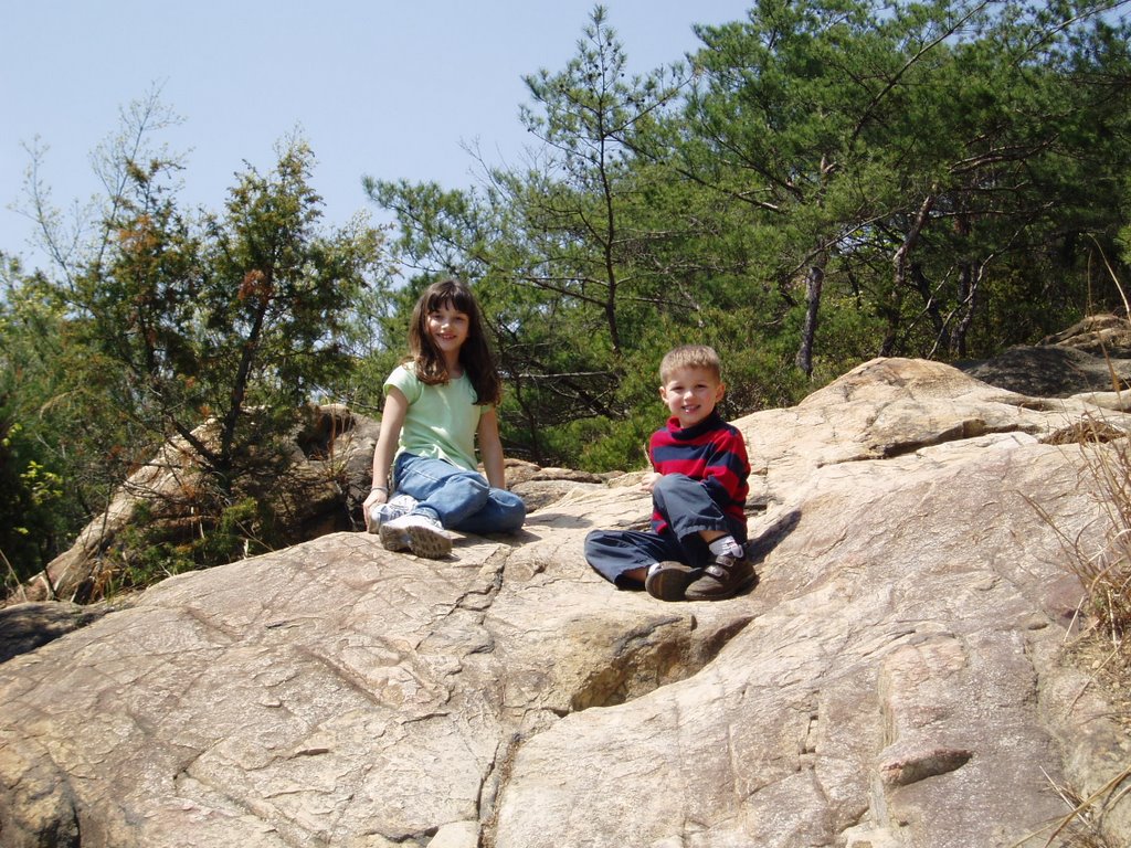
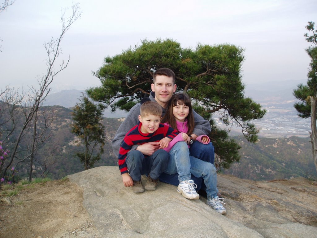
rnrB happens to be in 'one of those moods' for a moment when we snap this photo. She enjoys hiking steep, rough terrain and trkr's holding her back.

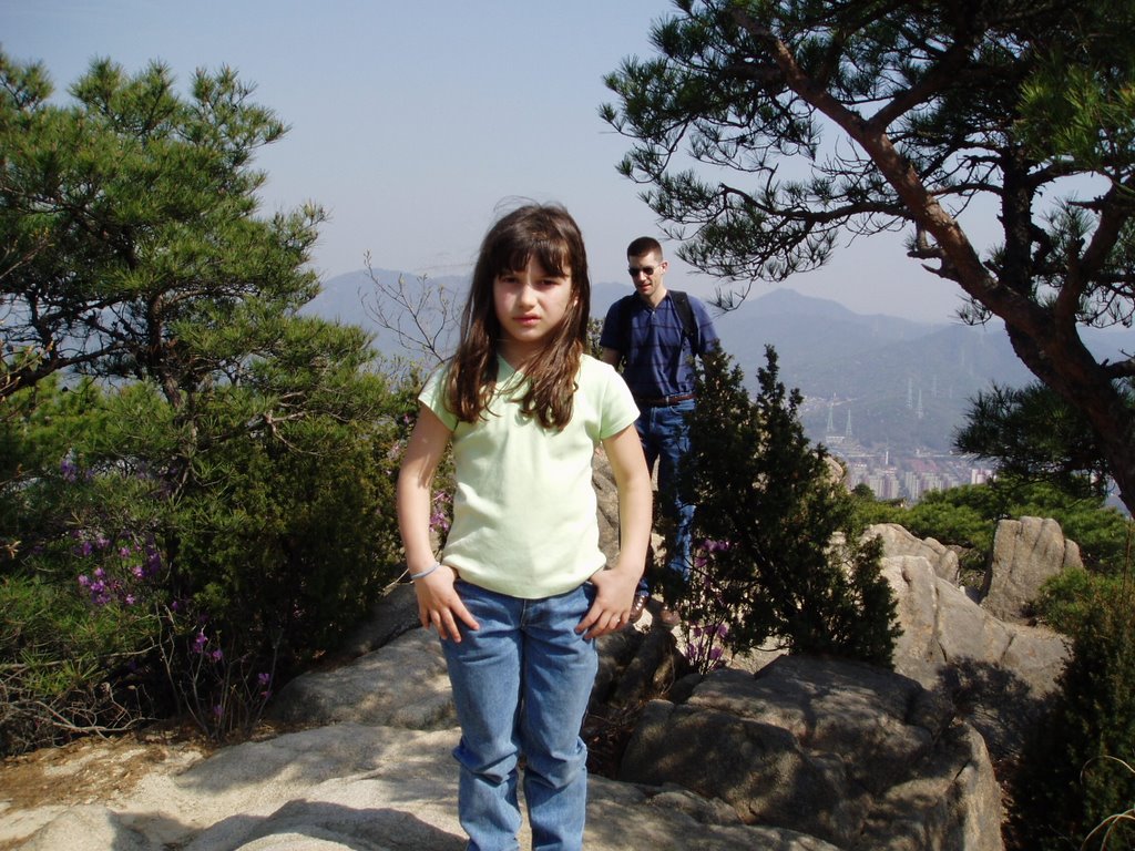
It's interesting where we find some of the flowers along the hike. Here's a pink azalea that's growing in a crevice of a cliff. This is about 20' high. Soon thereafter we find our Cloud Letterbox alive and well--still no visitors which isn't terribly shocking.
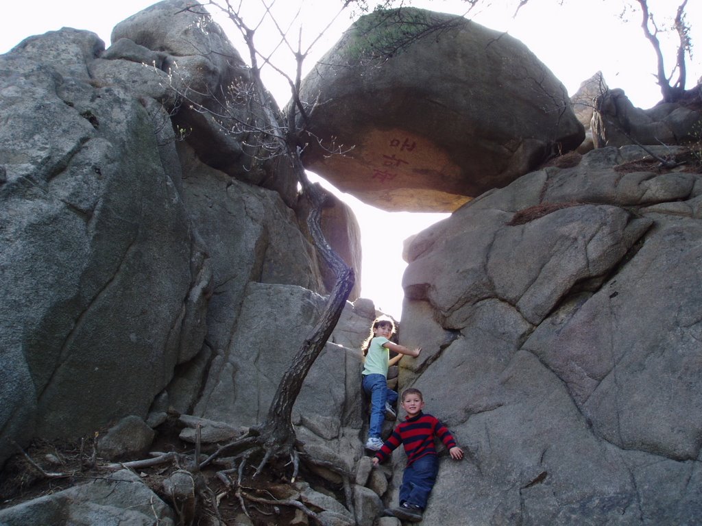
The kids ascend one of the more difficult stretches of the trail. This spot required quite a bit of rock climbing skills--securing good foot and handholds along the way.

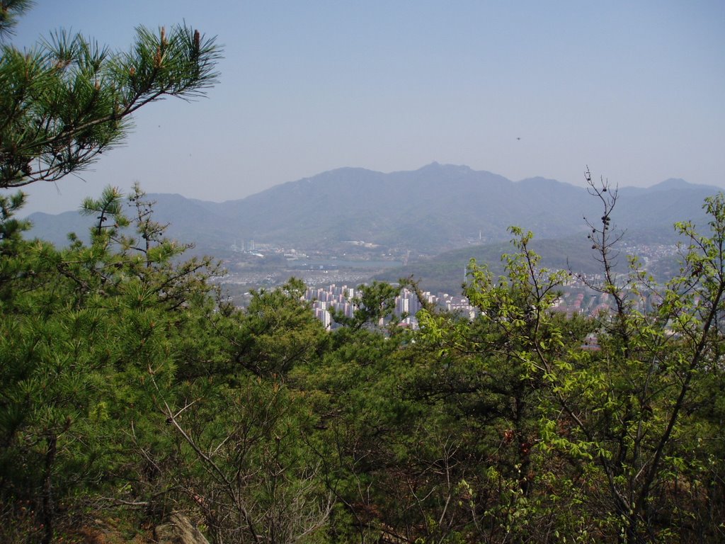
Here's a view of the ridgeline--the hill in the middle of the picture is one of the lower intermediate 'summits' along the way.

This picture will give you a feel for the route we're taking. We're following the ridge line and eventually make it up to the communication 'geodesic' dome on the right and then the large KBS broadcast tower on the left. The trail just prior to the dome and then again toward the large transmission tower got extremely tricky at points.

Here's a view of Trekkie as he descends one of the steeper bits along the way toward the dome. You can just barely make out the rope that one must use to negotiate the terrain. Scary to put your life into the trust of a well-worn rope that's tied (as in repaired with simple knots) in at least three different spots beyond where it's tethered to the rock.

This photo will give you a feel for just how steep some of the spots were. Had we known this is what was in store for us (especially in light of having 2 young children with us) we probably would have taken a different route. If you study the photo you can see Trekkie, trkr & rnrB in the foreground. Then look up in the shot and you'll see 'necklaces' of people holding on to a rope or chain for dear life that's tethered to the sheer-cliff face of the mountain. These tethers seem to jut back and forth across the face of the tall cliff. This part was rather scary to negotiate--after having been on our feet for some 4 miles of mostly uphill ascent already. There were a few other 'scary' sections of the hike but some were so 'tight' that I dared not even bring out my camera. In two spots we had to 'straddle' the ridgeline with sheer drop-offs on either side. Eventually, however, we reach the summit and enjoy it for a few moments. Just beyond the summit we find a more level area and dozens and dozens and dozens of folks who are picnicking at it. Odd--we hadn't seen that many folks on the trail WE took up to the summit! Turns out there's a much milder trail through the valley with a long steep set of stairs to the summit that most everybody else has taken. Yes, we somehow managed to find the most difficult route up to the summit.

This little 'rope-exercise' was what we faced on the 'easy' side of the summit heading down to the picnic area not too far from a Buddhist Temple which turns out to be the other draw for folks lingering in the area.

Here's a view of a temple just South of the geodesic dome. At some point in the hike we were about 40' away from this temple. This photo of the higher temple was actually taken not far from this temple that we found at a lower elevation. They, too, were all decked out for Buddha's big birthday.
...
...

However, we didn't have time to spare. We were on a mission for some geocaches, or so we thought. Turns out the geocaches we originally sought out were on another ridge along the way--too far away for us to seek now as we were rapidly losing daylight. We opt instead to run a 'waypoint' search in the GPS and hunt down whichever proves to be closest. We eventually find one and follow its lead. Boring GC hunting stuff ensues but it turns out to be a mystery cache that requires multi-stages and somehow I end up bushwhacking my way straight up a cliff to get within 200' of the thing. Who knew? At some point along the way, we descend 1/4 of the summit to reach the first stage where we find our coordinates for the 'actual' cache tucked away in a tiny 35mm film canister and quickly learn we must resummit the mountain-at least to the point where the temple is to get 'credit' for finding the cache. So, with our GC vanity at stake, we reclimb the mountain and soon find the cache. Inside we find the typical McHappyMeal toys loot. But this cache boasts something we've never before found in a cache! DMS would be pretty excited to learn that it contained 5ml of Chivas Regal!!! Oh, that's what I used to take my cachebox impression, too! Figured I'd never see another trade item like that in the future...
...
What we soon realize, though, is that we still must descend this mountain in one piece--with children in tow--with the sun quickly setting and so we make the command decision to leave the liquor for the next cachebox locator to consume. ;)
Once we finish with the Mission Geocaching GC, we continue our descent down the mountain along a different ridgeline and make every effort to find another GC that's in the area. We have no idea if this cache (Kwanaksan 2) is still intact because it hadn't been located in over a year. We forge ahead, though, because we see that it had a TB in it and wanted to verify if it indeed was missing. Now, the sun is quickly setting and it's quite close to 7pm on the mountain. We still have half the elevation of this summit to descend in order to make our way back to the metro station. Somehow, though, we locate the cache and quickly stamp in. We secure the TB that's been stranded in the GC for the past 13 months. Odd--it was a TB with a mission to race to a location in Massachusetts. It was launched from VA and somehow took a bizarre detour to Seoul, Korea, instead of making it to MA and got 'hung up' in some crusty cache for over a year.

This shot was snapped just prior to finding the second part of the multi-stage cache. I just love the terrain. It has this smooth yet rugged sense about it. The pine trees jutting out from the nooks and crannies are really neat, too. It still reminds me of the Redding, CA area. Only here the trees have this more Zen-like feeling to them--as if they've been intentionally trimmed down to their current shapes as if they were larger Bonsai trees. I can definitely see from where the inspiration for Asian gardens springs. We're surrounded by it on this hike!
...
Eventually we make it back to the subway station. We realize we'd taken the children on a 7+ mile hike along some excrutiatingly difficult terrain. Our elevation change for this hike was at least 1,300 meters! By the time we make it off the trail and back on the street heading toward the station it is almost 8:45pm and nearly pitch black out. We stop for some of those incredibly awesome Korean melon popsicles at a kiosk just before the metro and savor them for as long as possible. The hike turned out to be exactly what we were looking for. Great workout, breathtaking views and a little bit of the 'mental' challenge, too, in trying to locate some GCs along the way.

We eventually make it the 12 metro stops back to 'our' neck of the woods and trkr finds another 'bizarre' thing in Korea. It's a telephone AND coffee and can vending machine. The phone just happens to be at trkr's level.
...
All in all, another great outing--despite its misadventured beginning.
posted by Adventure Seeker | 7:35 AM
![]()
0 Comments:
Post a Comment
<< Home